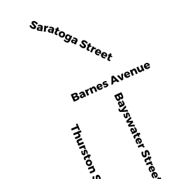
978C 976A Saratoga ST
Owner Information
IRMAS LLC
915 CHESTNUT ST
NEWTON, MA 02468


Property Details
978C 976A Saratoga ST is classified as a IMPUTED - Commercial (Ret/whsl/service).
The primary structure on this property was built in 1922. There are 5,600ft2 of built area within this property. There is 2,800ft2 of residential/living space within this property.
978C 976A Saratoga ST is valued at $436,500. The land is valued at $116,100 and the structures are valued at $320,400.
The most recent deed for 978C 976A Saratoga ST is recorded at the local registrar in Book 52884, Page 251. 978C 976A Saratoga ST was last sold on Tuesday, April 22, 2014 for $530,000.
Assessment data from fiscal year 2020.
Flood Data
According to the FEMA National Flood Hazard Layer, this property does not appear to be in a flood zone. It may also be in an area not yet reviewed. Nonetheless, confirm this information prior to taking any action.
To view the flood hazards around this property, create a FEMA "Firmette" Map of the area around 978C 976A Saratoga ST.
Broadband Internet Providers
| Provider | Type | Bandwidth (mbps) | |
|---|---|---|---|
| VSAT Systems, LLC. | Satellite | 2 | 1 |
| HughesNet | Satellite | 25 | 3 |
| GCI Communication Corp. | Satellite | 0 | 0 |
| Comcast | Cable | 1000 | 35 |
| Verizon New England Inc. | DSL | 10 | 1 |
| Viasat Inc | Satellite | 100 | 3 |
| Starry, Inc. | Fixed Wireless | 200 | 200 |
| Verizon New England Inc. | Fiber | 940 | 880 |
Broadband service provider data from December 2020.
Adjacent Properties
- 7 FORD ST
Apartments with Four to Eight Units owned by SCAPICCHIO PAUL J TS - 11 FORD ST
Two-Family Residential owned by PIZZI PHYLLIS F - 980A982 Saratoga ST
Eating and Drinking Establishments - restaurants, diners, fast food establishments, bars, nightclubs owned by MARQUARDO DONNA - 974972 Saratoga ST
Mixed Use (Primarily Residential, some Commercial) owned by EB WHITE DIAMOND LLC